By Ahmed Sahid Nasralla (De Monk)
Freetown, 25th May 2026- As Sierra Leone’s Mining Week 2026 draws to a close, much of the national conversation has understandably focused on investment opportunities, mineral exports, regulatory reforms and the government’s promise of responsible mining.
Yet beneath the conference speeches and exhibition halls lies a quieter but more strategic question, one that may ultimately determine the future of the country’s mineral wealth: after mapping Sierra Leone from the air, what happened next?
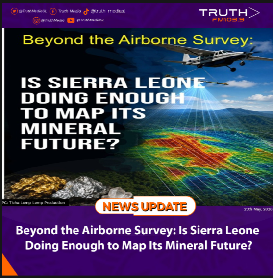
Years before Mining Week became a flagship national platform, Sierra Leone embarked on one of the most ambitious geological initiatives in its history, the National Airborne Geophysical Survey (NAGS), undertaken with support from the World Bank and implemented through the Ministry of Mines and the National Minerals Agency.
The project flew aircraft equipped with sophisticated sensors across the country, collecting aeromagnetic and radiometric data designed to improve geological understanding and strengthen mineral exploration. At the time, the exercise carried enormous promise.
Communities across mining districts were sensitised and prepared for the survey as aircraft crisscrossed the skies gathering information expected to transform knowledge about Sierra Leone’s mineral landscape. I remember this period well, having been contracted by the World Bank technical team housed within the Ministry of Mines to design and produce public information and community sensitisation materials supporting the exercise.
The national mood was hopeful. The survey was widely viewed as a major scientific step toward unlocking Sierra Leone’s hidden mineral potential. And indeed, the exercise delivered significant outputs.
The airborne survey generated high-resolution geological information, mineral favourability maps, target identification datasets and technical interpretation products covering the entire country.
Among its outputs were geological and basement maps, mineral prospectivity analyses for commodities including gold, rutile, bauxite and nickel, as well as kimberlite and iron target datasets.
But here lies an important technical distinction often lost in public discussions. Airborne geophysical surveys do not estimate mineral resources. That clarification comes from mining and geological expert Ansu Katta, whose explanation may be one of the most important reminders emerging from Mining Week.
“Geophysical surveys do not and cannot estimate resources,” Katta explains. “It only provides mineral indications based on magnetic and radiometric signatures.”
This distinction matters. In simple terms, the survey could indicate where minerals may exist beneath the surface, but it could not determine how much mineral is present, whether deposits are commercially viable, or whether extraction would be economically feasible.
That stage requires additional scientific work: ground verification, geochemical surveys, geological mapping, sampling, drilling and eventually resource estimation and feasibility studies.
And this is where the conversation becomes more consequential. According to Katta, he is unaware of any systematic, government-led follow-up geochemical programme undertaken after the airborne survey.
“Further works based on the geophysical datasets have been mostly restricted to exploration licences held by private companies,” he notes.
If this assessment is accurate, it raises an important policy question that deserves thoughtful discussion beyond conference halls and investment presentations.
Did Sierra Leone, having invested heavily in nationwide airborne mapping, establish a structured state-led pathway to convert those airborne signatures into verified national geological knowledge?
Or did the responsibility for deeper exploration effectively shift to private licence holders?
This is not an argument against private exploration. Private capital remains essential to mineral development. But there is a broader strategic consideration.
A country rich in mineral resources also needs strong sovereign geological intelligence. The difference is significant. When geological knowledge resides primarily within private exploration portfolios, the state may benefit from investment but risk underdeveloping its own long-term scientific and strategic understanding of national mineral wealth.
That matters not only for licensing decisions but also for negotiations, industrial planning, mineral diversification and future revenue policy.
Mining Week 2026 repeatedly highlighted Sierra Leone’s mineral potential. That potential is not in dispute.
The more important question now may be whether Sierra Leone is investing sufficiently in the science needed to fully understand, verify and strategically manage that potential.
The aircraft completed their work years ago. The maps were produced. The mineral signatures identified. But perhaps the most important journey, the one from airborne indication to sovereign geological knowledge, is still unfinished.
As Mining Week closes, that may be the biggest takeaway of all.
Note: The Author is the Ex Officio and Immediate Past President of the Sierra Leone Association of Journalists (SLAJ).